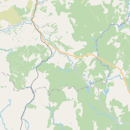
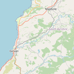
River Cree - United Kingdom

Basic Information
Site Name
River Cree
Short name
R18
Country
United Kingdom
Site Description
UK ECN site. The River Cree has a catchment area of 515.7km2, much of which is afforested, and a total river length of 57.5km. It has become one of the most acidic catchments in SW Scotland, with pH values as low as 5.0 being recorded occasionally. The raises concerns about its ability to meet the EC requirements for freshwater fisheries and about the survival of the salmon fishery. There are many sewage effluent discharges entering the river along its course, most of which have small flow rates; the largest discharge is from Newton Stewart. In the early 1980's, large stretches of the river were subject to excessive weed growth, believed to be due to the aerial application of fertilisers over large tracts of forest. The mean pH at Newton Stewart is 6.5, with lower mean pH levels upstream.
Last modified
2023-09-01 15:09:47

CC-BY-NC Logo

General Characteristics and Status
Site Status
Operational
Year Established
1994
Observed properties
Affiliation and Network Specific Information
Affiliation
ILTERThis site is a verified "ILTER" member.
LTER EuropeThis site is a verified "LTER Europe" member.
UK ECN (LTER_EU_UK_035)This site is a verified "UK ECN" member.
Photos
River Cree
River Cree
Geographic
Centroid/Representative Coordinates

Latitude: 54.95273 Longitude: -4.477349

Size
ca. 0.00ha
Elevation (average)
425.00msl
Elevation (min)
12.00msl
Elevation (max)
840.00msl
Download

Site information [.json]

Centroid/representative coordinates [.shp] [.kml]
Bounding Box [.shp] [.kml]
Boundaries [.shp] [.kml]